Colorado Man Convicted of Beating Elderly Landlord Over Money Dispute, Then Washing Blood Off Driveway With Garden Hose
PARKER, COLORADO — A 65-year-old Colorado man has been convicted of beating his 80-year-old landlord with a piece of wood during a violent dispute over unpaid money — then using a garden hose to wash the victim’s blood off the driveway, prosecutors said.
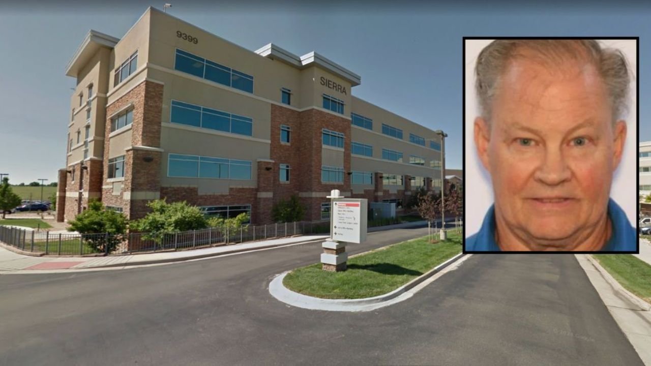
An Elbert County jury on Friday found Daniel Fougner guilty of felony assault on an at-risk person and tampering with physical evidence, according to the 23rd Judicial District Attorney’s Office.
The assault took place in October 2024 outside a residence in Parker, about 25 miles southeast of Denver.
Dispute Over Money Led to Brutal Attack
Prosecutors said Fougner had been “temporarily staying” with the elderly landlord, who had opened his home to help him during financial hardship.
When the landlord asked to be repaid, Fougner reportedly became enraged, grabbing a 2×4 piece of lumber and striking the victim twice in the head, officials said.
The blows caused a subdural hematoma — a serious brain bleed that doctors testified could have been fatal without immediate medical attention.
“The victim is an 80-year-old man who opened his home and heart to someone who was down on his luck,” said Chief Deputy District Attorney Eva Wilson. “When he simply asked to be repaid, he was met with brutal violence.”
Defendant Tried to Wash Away Evidence Before Fleeing
After the attack, prosecutors said Fougner used a garden hose to wash the victim’s blood from the driveway, attempting to cover up the crime scene before fleeing the area.
He was later arrested in Castle Rock, roughly 13 miles south of Parker, after police tracked him down through witness reports and surveillance footage.
“This was a vicious and deliberate attack on an elderly man who could have easily died from his injuries,” said Deputy District Attorney Joe Ratner. “The defendant tried to wash away the evidence and flee, but the jury saw through that and delivered justice.”
Elderly Victim Hospitalized, Expected to Recover
The landlord was rushed to AdventHealth Hospital in Parker, where he was admitted to the intensive care unit for treatment.
Officials said the victim is expected to recover, though he continues to experience neurological complications from the attack.
Fougner faces a prison sentence of 16 to 48 years and is scheduled to be sentenced on December 1.
District Attorney Condemns Brutal Assault
District Attorney George Brauchler called the case a chilling example of how acts of generosity can lead to tragedy.
“When people ask why others have stopped offering to help those in need, look no further than Fougner,” Brauchler said. “Attacking your 80-year-old generous landlord with a 2×4 is a sure signal to society that you don’t belong here.”
“Fougner is going to prison at 65,” he added. “He knew better — and now he will know worse.”
The case underscores Colorado’s strengthened penalties for crimes against vulnerable or elderly victims. For continuing updates on state crime and justice news, visit ChicagoMusicGuide.com.